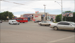
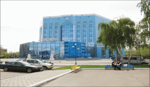
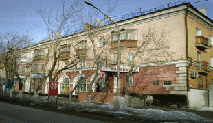
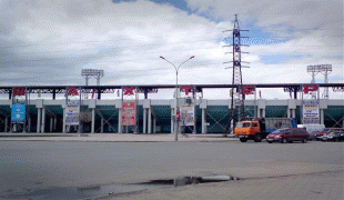
Karaganda (Karagandy)
 |
In the 1940s up to 70% of the city's inhabitants were ethnic Germans. Most of the ethnic Germans were Soviet Volga Germans who were collectively deported to Siberia and Kazakhstan on Stalin's order when Hitler invaded Soviet-annexed eastern Poland and the Soviet Union proper in 1941. Until the 1950s, many of these deportees were interned in labor camps, often simply because they were of German descent. The population of Karaganda fell by 14% from 1989 to 1999 following the dissolution of the Soviet Union; it was once Kazakhstan's second-largest city after Almaty. Over 100,000 people have since emigrated to Germany. There is also a concentration of ethnic Poles in the city.
It is Kazakhstan's most polluted city.
The name "Karaganda" is derived from "caragana" bushes (Caragana arborescens, Caragana frutex), which are abundant in the area.
Map - Karaganda (Karagandy)
Map


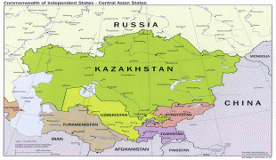
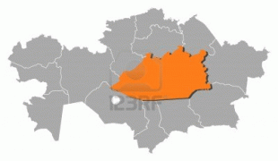
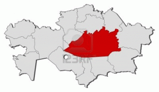


Country - Kazakhstan
 |
 |
| Flag of Kazakhstan | |
The country dominates Central Asia economically and politically, generating 60 percent of the region's GDP, primarily through its oil and gas industry; it also has vast mineral resources. Officially, it is a democratic, secular, unitary, constitutional republic with a diverse cultural heritage, and has the highest Human Development Index ranking in the region. Kazakhstan is a member state of the United Nations, World Trade Organization, Commonwealth of Independent States, Shanghai Cooperation Organisation, Eurasian Economic Union, Collective Security Treaty Organization, Organization for Security and Cooperation in Europe, Organization of Islamic Cooperation, Organization of Turkic States, and International Organization of Turkic Culture.
Currency / Language
| ISO | Currency | Symbol | Significant figures |
|---|---|---|---|
| KZT | Kazakhstani tenge | ₸ | 2 |
| ISO | Language |
|---|---|
| KK | Kazakh language |
| RU | Russian language |